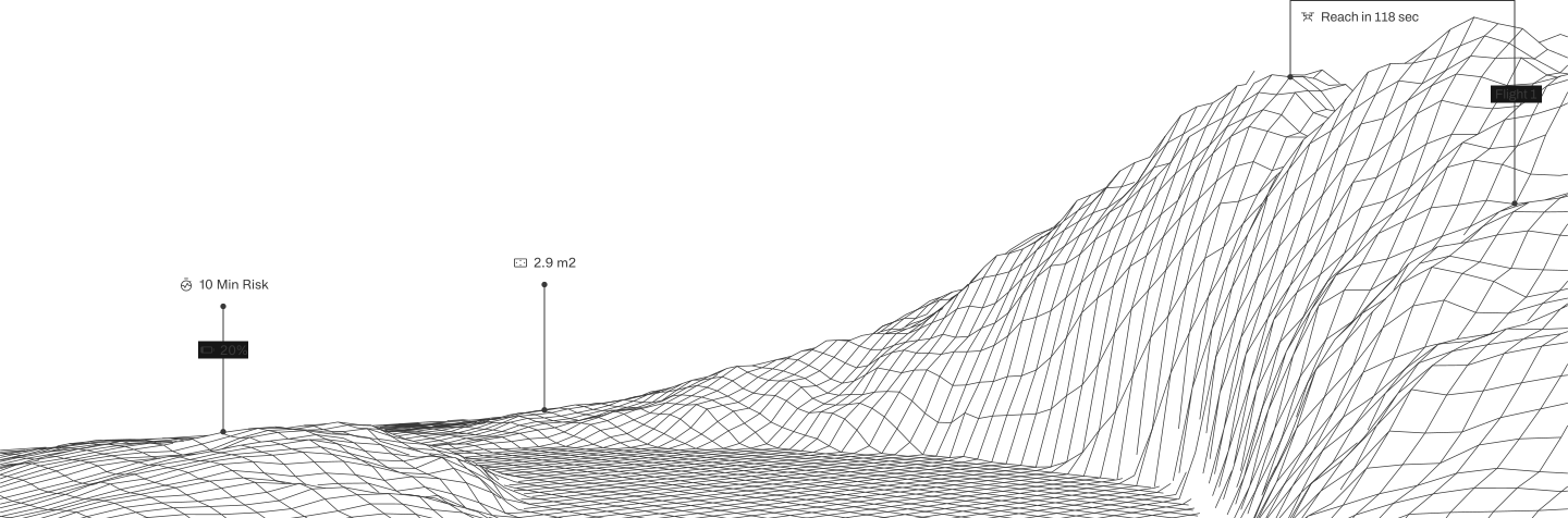
The operational intelligence platform powering the world’s leading drone programs.
Unify your drone operation with AirData, your system of record for flights, aircraft, pilots, maintenance, and compliance. Bring everything together in one place so your team can make better decisions, reduce operational risk, and scale with confidence.
.avif)

Trusted by


























Trusted by drone programs across industries in more than 200 countries and territories.
68368613
flights logged
477638
pilots
913172
drones tracked
883
pilot certification types
Fly safer. Prove compliance. Scale with confidence.
See what needs attention across your operation before it adds risk, cost, or downtime.
Reduce Risk
Know the state of every flight, pilot, and aircraft before it becomes a problem.
Prove Compliance
Make every flight a defensible, audit-ready account, built for Part 108 and matched to local rules.
Scale Operations
Grow from a handful of pilots to a mixed enterprise fleet without adding operational friction.
Lower Operating Costs
Catch maintenance issues and inefficiencies before they become expensive.
Better Decision-Making
Turn operational knowledge into a clear next step.
Faster Incident Resolution
Get the full account of what happened, ready the moment it's needed.
With AirData, data becomes proof, and proof becomes trust.
Every flight adds to a foundation of proof, built on the largest known dataset in commercial drone operations.
Operational Knowledge at Scale
AirData's operational intelligence is informed by 65M+ flights and roughly 10 trillion points, giving teams context that raw flight data alone cannot.
%202.avif)
Built for Any Fleet
180+ drone types, 40 manufacturers, 60 flight apps, no hardware changes, no new app for pilots.
%204.avif)
Enterprise Grade Automation
The work builds itself: logs upload, aircraft and batteries are detected, maintenance is tracked, insights surface, and people make the call.
Plan it, fly it and prove it.
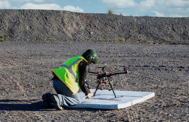
A drone program doesn't start at takeoff or end at landing. AirData connects what happens across the whole flight, so every flight makes the next one better.
Before
Every mission starts with a clear plan and a ready fleet. Confirm airspace, aircraft airworthiness, and pilot credentials before takeoff, across any mix of drones and any size team.
During
Pilots mark the mission as it runs, and anyone who needs to see it watches live: supervisors, or people outside the team when the situation calls for it. Sub 1 second latency video from any drone and any flight app, multiple feeds side by side.
After
Every flight comes back and tells you something. Logs sync on their own, analysis surfaces battery and aircraft problems before the next flight, and the maintenance, compliance, and audit records build themselves along the way.
Enterprise Programs and Business Executives
Manage fleets, pilots, compliance, and operational risk in one place. See what needs attention and scale your program.

Pilots
Understand every flight, improve your skills, track your aircraft, and keep your flight history organized.
Trust earned across 67M+ flights, worldwide.
Used by 470K+ active pilots across industries, AirData delivers what pilots need for every flight and what leaders need to manage an operation of any size.


.avif)
Frequently asked questions
Drone fleet management software helps organizations manage flight logs, pilots, aircraft, batteries, maintenance, and compliance in one place. AirData automatically turns flight data into actionable insights that help teams improve safety, simplify reporting, and keep their drone operations organized.
Look for drone fleet management software that supports your aircraft and flight apps, automates flight log collection, tracks maintenance and equipment health, and makes compliance reporting easier. It should also scale with your operation while giving you clear visibility into pilots, aircraft, batteries, and overall fleet performance.
Yes. Drone flight log software like AirData can automatically sync flight data from many popular drones, controllers, and flight apps, including platforms from DJI, Autel, Skydio, and others. This reduces manual data entry and gives teams a centralized record of flights across a mixed drone fleet.
AirData centralizes flight, pilot, aircraft, equipment, and maintenance records so teams can more easily produce documentation for regulatory submissions, audits, and operational authorizations. Reporting requirements vary by aviation authority and operation, so teams can configure reports around the records they need to maintain and provide.
Yes. Drone management software can track battery performance, maintenance intervals, aircraft usage, and other fleet health indicators that affect operational readiness. AirData analyzes flight and battery data over time to help teams identify potential issues earlier and keep their equipment ready to fly.

Focus on the current flight and grow your operation.
Use the drones and flight apps you already have and bring your whole operation together in AirData from day one.